
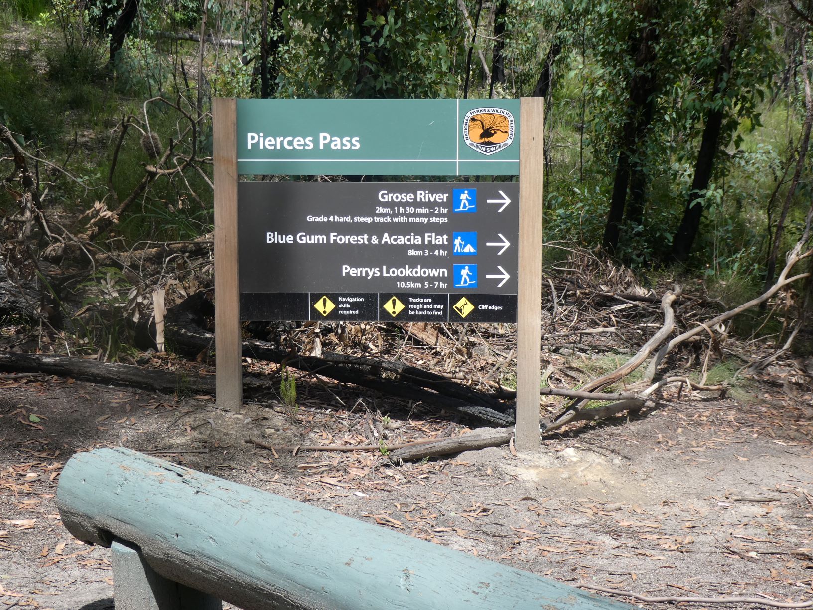
Hat Hill to Pierces Pass via Brownes Path
Hat Hill to Pierces Pass via Brownes Path route starts at Hat Hill car park, follows the ridge to Brownes Path, descends the talus steeply to the Grose River via no route whatsoever, ascends the tourist Pierces Pass to the car park. The return is back down Peirces Pass, a 2km walk upstream to Hat Hill Creekm followed by a steep unmarked ascent to Lews Pass and Hat Hill Canyon. After exiting Hat Hill Canyon follow the ridge back to return to Hat Hill and the car park.
Hat Hill to Pierces Pass via Brownes Path route starts at Hat Hill car park, follows the ridge to Brownes Path, descends the talus steeply to the Grose River via no route whatsoever, ascends the tourist Pierces Pass to the car park. The return is back down Peirces Pass, a 2km walk upstream to Hat Hill Creekm followed by a steep unmarked ascent to Lews Pass and Hat Hill Canyon. After exiting Hat Hill Canyon follow the ridge back to return to Hat Hill and the car park.
An alternative is to do it one-way with a car shuffle to Pierces Pass - it’ll take about 30 minutes each way.
I’ll take a single walking pole for balance getting down and up the talus. Having a hand free to grab grass or trees while using the poles to reduce stress on the knees but primarily to reduce risk of losing balance is far better than either no poles or two poles.
Route
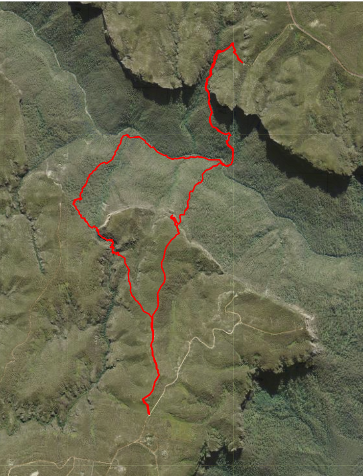
Aerial view of Grose Crossing via Brownes Path, Pierces Pass and Lews Pass route. Starts and ends at Hat Hill car park at the South.
To Brownes Path
After ascending the signed tourist track to Hat Hill, go North past Hen & Chicks Rocks, follow the ribbon along the ridge. There are good distant views of oppsite side of the valley along the treeless trail. It undulates a little and after 1.3km at an almost indescernable high point, the track continues North West and descends. Leave it, get your compass out and continue North, tending East when obstacles dictate, descending towards the cliff edge.
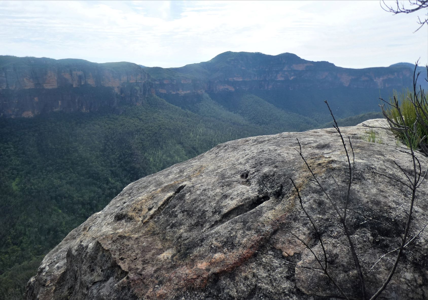
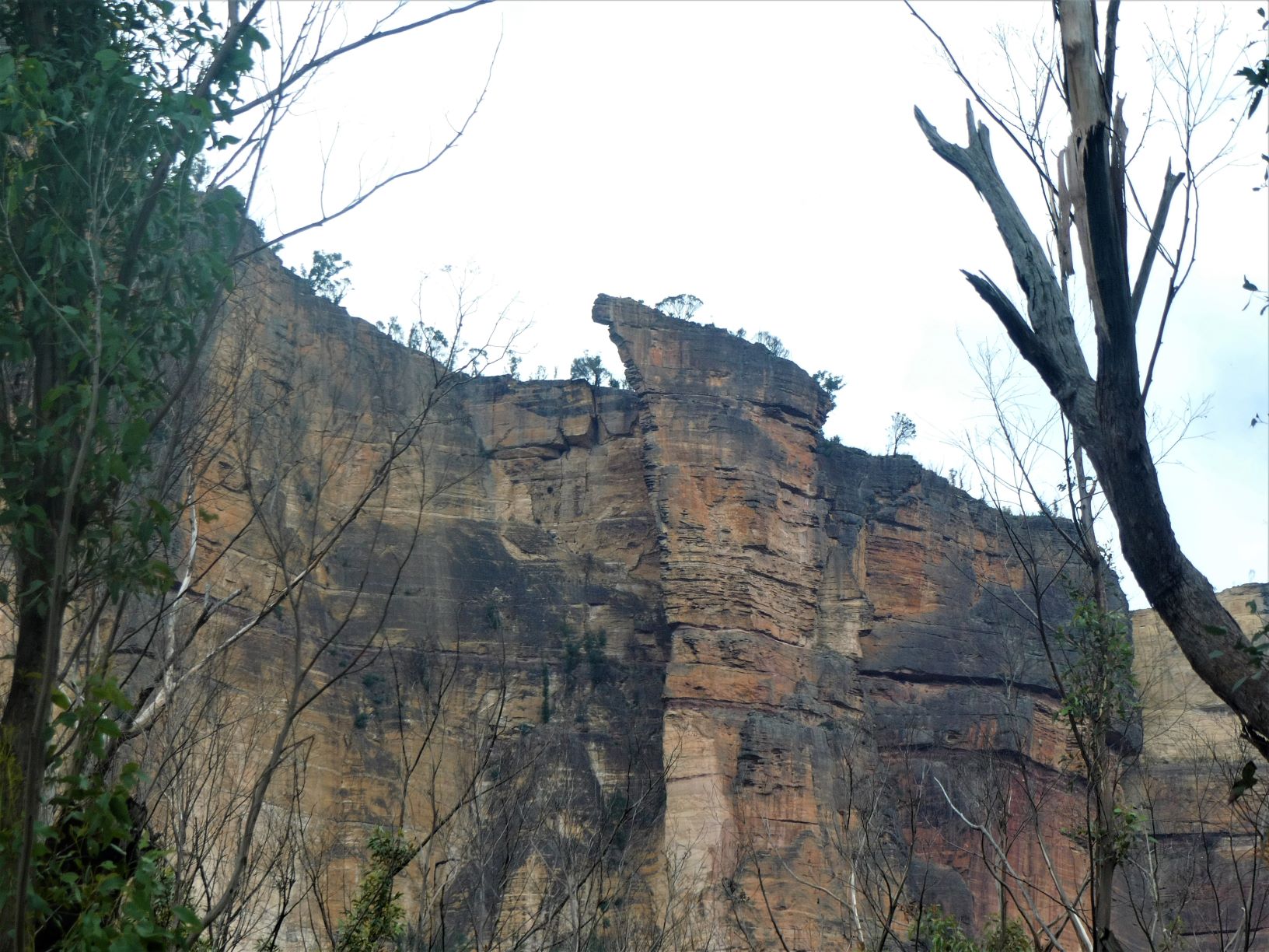
Finding Brownes Pass may take a little searching - a wide and fairly steep gully that runs to NNW will take you there. There are large rocks and a few platforms with views on the right as you descend, one of which appears pretty groovy.
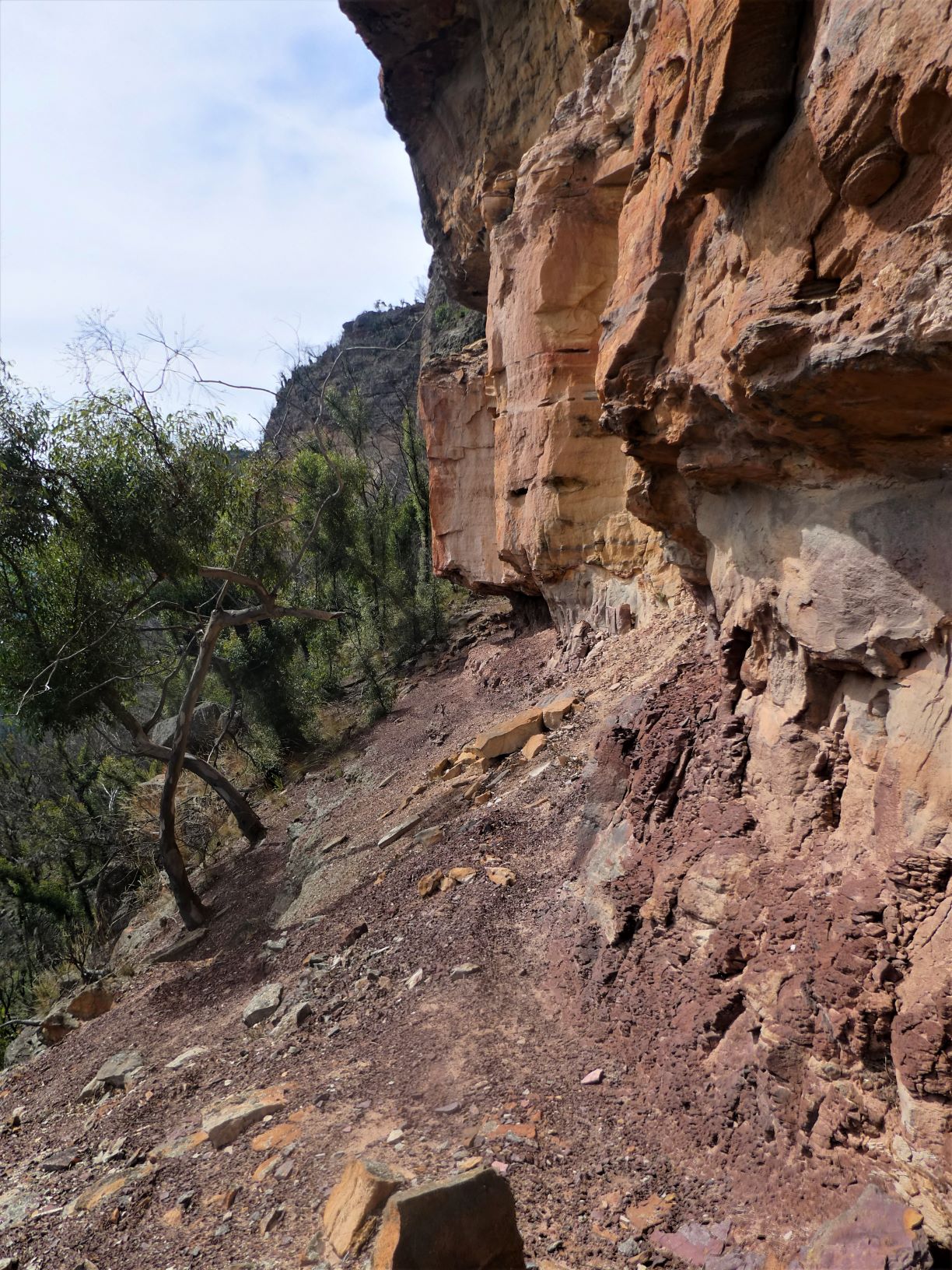
Continuing downwards an orphan rock comes into view - and shortly afterwards Brownes Path is the obvious chocolate ledge under the orange rocks. There’s a reasonable footpad, a 50m drop-off and a small cave at the end. The ledge continues for about 100m with little exposure for the sure-footed.
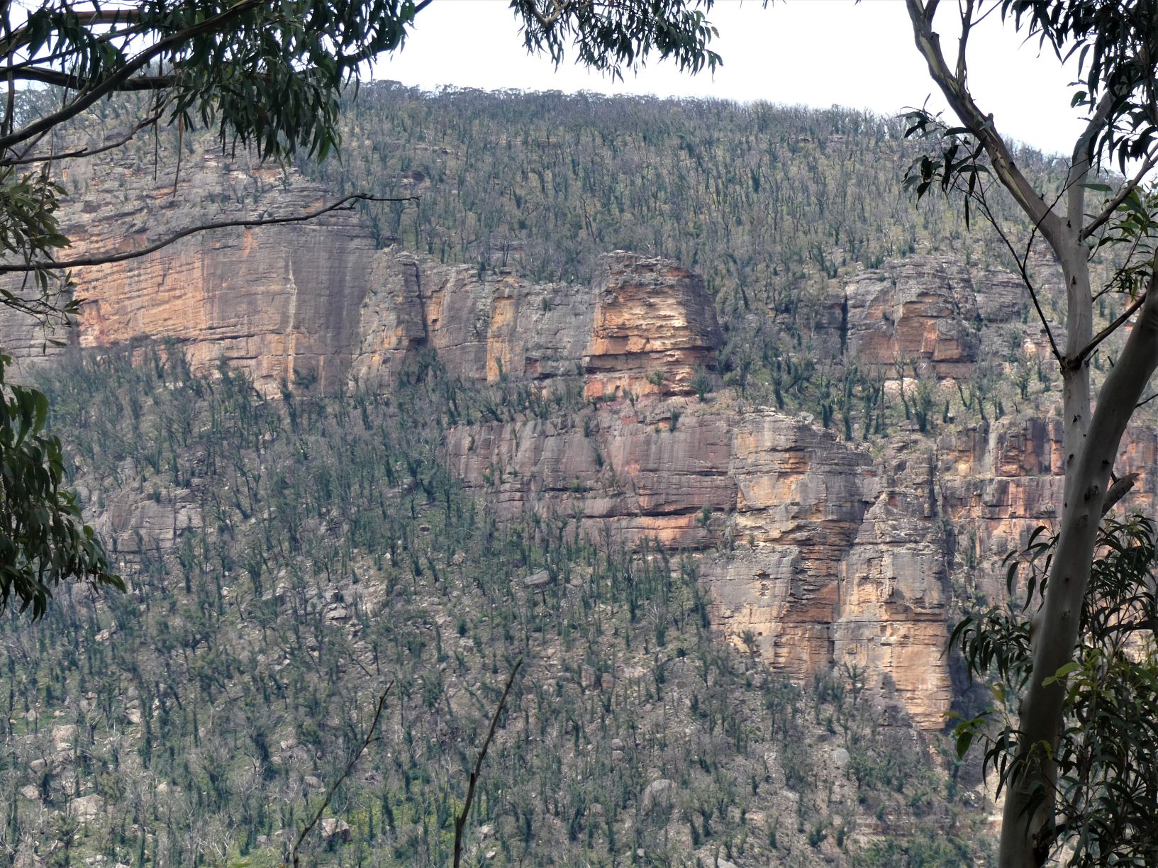
From this vantage point the vista & depth of the Grose Valley become apparent.
The orphan rock that marks end of the descent gully is at the left, showing little regrowth after the devastating fires of 21st December 2019.
Across the valley is Pierces Pass under Rigby Hill and behind Rigby Hill is the car park that marks the half way point of todays route. Hungerfords Track descends from the Pass to the Grose at the far right of the shot.
Descent to the Grose
The descent of the South side of the valley is steep, trackless and rocky, with low density of vegetation for most of it, followed by less penetrable and sometimes weed-infested levels on the lower slopes. By keeping the terrain of the opposite valley side in sight it is fairly easy to hit the Grose close to the base of Pierces Pass. If not, then the trail that follows the river will quicky lead you there.
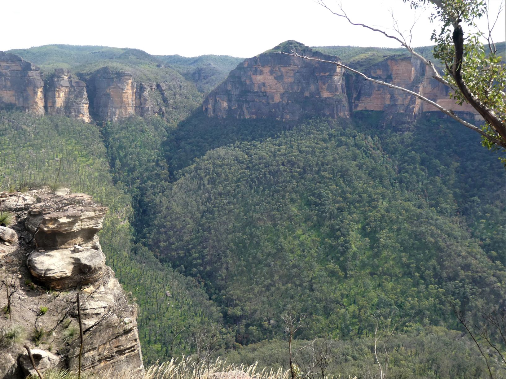
The view of the descent of the Southern slope taken from the high on the Northern side clearly shows its boulder-strewn nature. The regrowth on the upper slopes of the talus from the recent fires is sparse, making route finding and cliff avoidance relatively straightforward.
The chocolate ledge that marks Brownes Path is in the centre - the drop off is apparent.
Ascent to Pierces Pass
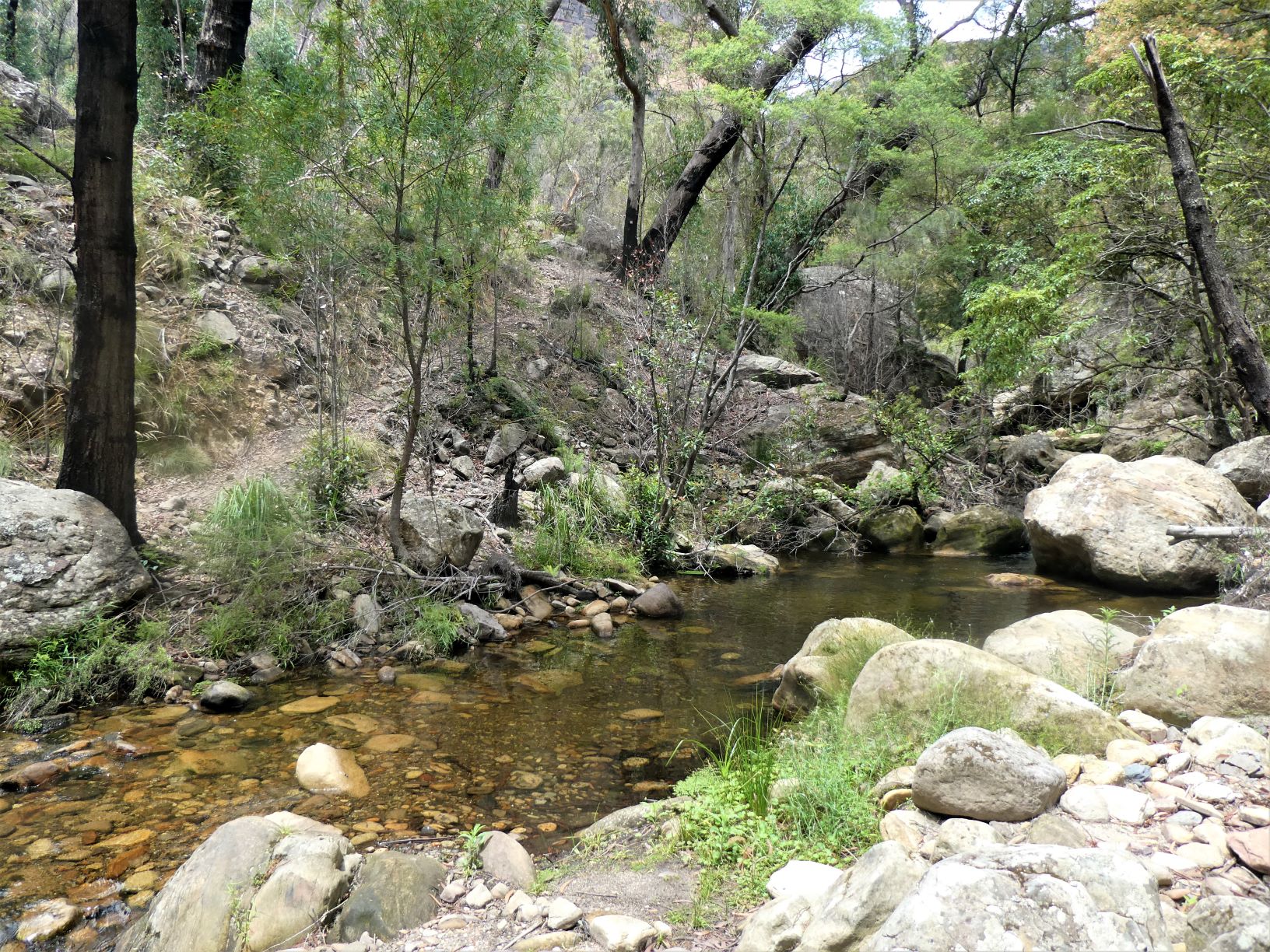
I find the water in the Grose is drinkable in small quantities, although today it was not especially cold. The catchment at this point includes Blackheath and Mt Victoria - there may be a few properties which still aren’t connected to mains sewerage.
Cross the Grose easily over the boulders, and follow the tourist track steeply and directly up the spur on Hungerfords Track. Then after a couple of hairpins it levels out (relatively speaking) and heads North West and then North through the Pass to the car park. A one way trip would entail a 30 minute car shuffle from Hat Hill to here.
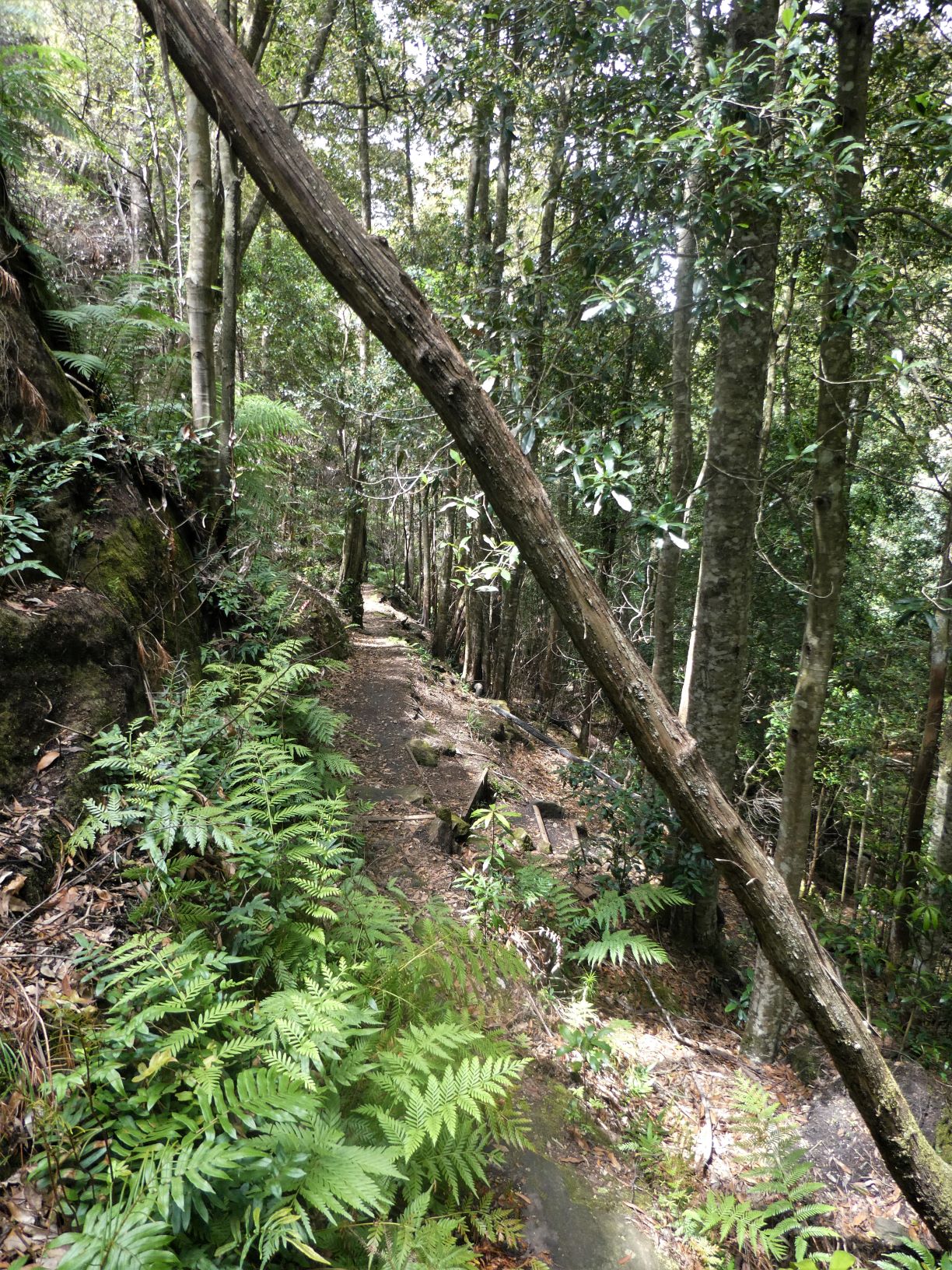
After a short rest and honey sandwich, the descent down the same track took half the time. It’s cool and pleasant rainforest in the Pass and a well-maintained track almost all the way, only getting rougher and steep for the last 300m.
After re-crossing the Grose, and following the easy Grose River track upstream for 20 minutes over several dry creek beds, Hat Hill Creek is reached.
Water here is also drinkable.
Ascent to Lew Pass
After Hat Hill creek continue on the track up the Grose for 100m to what appears to be a flatter area to the South… and head up towards the pass. Close to Hat Hill Creek is steep and rocky, so keeping 100m+ west of it will avoid much of the difficulties. And then after 400m follow the vague ridge venturing further from the creek. It varies between steep and very steep, don’t worry about aiming for the Falls - the ridge forces you to the right, so go with the flow… and worry about getting to the Falls later.
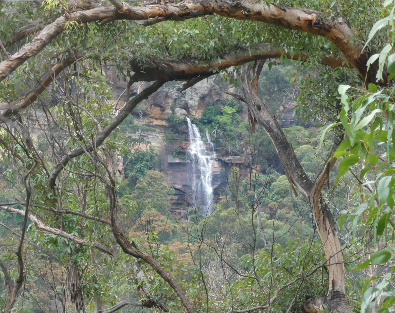
At various points through the canopy Hanging Rock may become visible - a sight rarely seen.
Hat Hill Falls framed through the fire ravaged vegetation. Throughout the ascent there’s often a feeling that the cliff line must be close, as you’re almost level with the Falls - that feeling lasts a long time.
Eventually reaching the base of the cliffs, head South East following ledges - the narrow, loose & exposed ones can always be avoided by selecting a lower ledge, however each one comes with a little backtracking and a battle with the local vegetation.
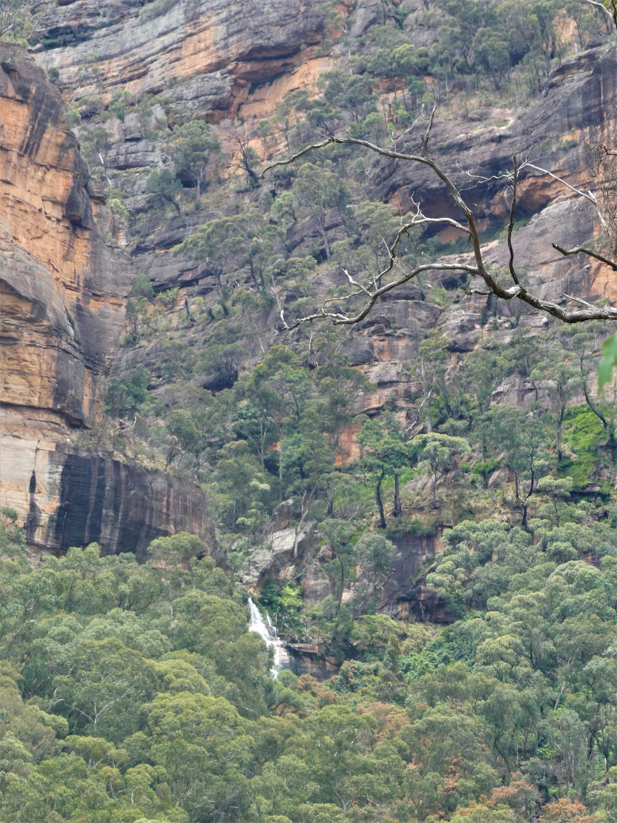
Finding the right ledge to exit via Lews Pass isn’t especially hard - it’s the highest ledge that’s level with the top of the Falls. The black smooth vertical rock is easily visible. The green ledge to the right of the top of the falls is easily navigable to Lews Pass. And 5m before the Falls are fat tree roots between two huge boulders - this is Lews Pass.
Up till then a minor concern was that the roots and handholds had been burnt out, but the spray from the waterfall may have helped keep them intact.
A brief, slightly reachy 7m ascent will see you at the top of the boulder and the lunch spot of Hat Hill Canyon.
From part way up the slopes, these navigational features showing the route to Lews Pass can be seen. The canyon swings around to the left above the falls.
From here, follow the foot pad upstream on the Western bank only crossing the creek when absolutely necessary. It’s possible to get to the exit point keeping feet dry.
Shortly, after the side creek (less than 100m) find the canyons dry exit track, ascend either the tree roots or the step into the cave. Follow faint tracks up and around to the North and ascend easy rock shelves high above the side creek to eventually reach the ridge. From here it’s a 30 minute hike back to the car park.
Actual Timing
- Left car park at Hat Hill car park at 8:55AM
- At Brownes Path at 35 minute mark
- Descended talus to Grose after an elapsed 1 hour 28 minutes
- Ascended Pierces Pass after 2 hours 12 minutes
- After 10 minutes rest, returned to Grose after 2 hours 36 minutes
- Walk up track alongside Grose arriving at Hat Hill Creek after 2 hours 56 mins
- Ascend to Cliff line after four hours
- At Lews Pass 20 minutes later
- Out of the canyon and on ridge just before the five hour mark.
- Back at car park 25 minutes later
Stats
18.5km
1900m of ascent. The Grose River Crossing is at 380m AMSL, and Hat Hill at 1040m. Pierces Pass car park is at 860m
Elapsed 5:20
Care
This is a route that has serious navigational challenges, requiring strong commitment with no fallback alternatives and a tolerance for a reasonable level of discomfort.
It should not be attempted, unless you have previously completed the Hat Hill Canyon dry exit, Lews Pass and Brownes Path in the direction to be taken.
Additionally, all of your party must be very adept at ascent and descent of rough talus routes, and be comfortable with a level of exposure.
Plan for your timing to be significantly longer than those shown - traveling alone, running, familiarity with the route, slopes & passes and little time to rest & enjoy the surroundings affects the timing significantly.