
Goat Track - Kedumba Walls
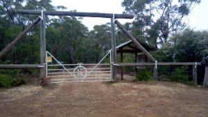
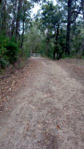
Drive down Kedumba Valley Rd to the gate and car park - it's mostly good dirt road.
Drive down Kedumba Valley Rd to the gate and car park - it’s mostly good dirt road. (Edit. As of 2018 it’s mostly poor dirt road - not suitable for vehicles without high clearance)
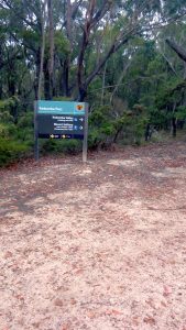
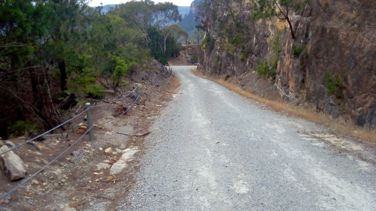
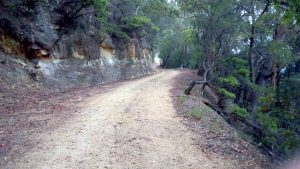
Pause at the NPWS noticeboard to learn a bit about the chequered history of the valley, and then road bash for a couple of km. The Cleary Monument is certainly worth a 5 minute side trip not just for the expansive view …
A short cut back down to the road and continue onwards and downwards. As soon as the road makes the big hairpin around to the North, walk a further 10m & look for the low inconspicuous cairn next to the 3rd post.
From this point is steeply downhill - probably 45 degrees on slippery she-oak needles. There are a couple of hand lines near the top - useful if it’s wet, but not entirely necessary - the drops are less than 1.5m.
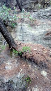
Continue steeply downhill - the track is barely discernible & the she-oaks are low, you’ll find yourself in a small steep gully on the right hand (north western) side of the ridge line - just keep heading down while keeping close to the ridge.
You’ll shortly come to an obvious track that contours around the crags high on your left - follow it and within 70m you’ll regain the ridge. An easy side trip to the crags gives a panorama from Lions Head to Leura.
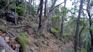
If you’re ascending then at this point bear left to find the easy track that follows the contour. This avoids the crags visible through the trees.
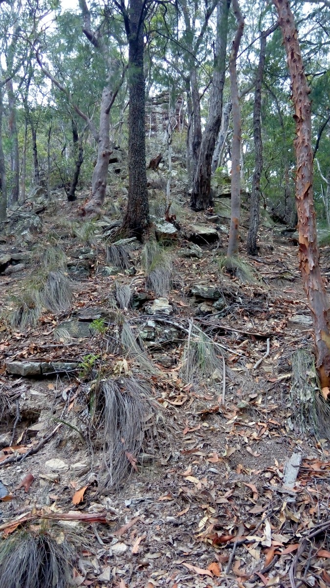
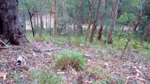
The ridge from here down the the road is broad with only faint tracks - but as you can just about see the road below who cares.
If you’re ascending then the start point of the ridge isn’t entirely clear, however, once you’re north of the gate you can pick any convenient point and head up through the ferns to the ridge.
It’s a short trip down the first third of Goat Track
The full route below, shows the walk down the hill to the hairpin - it’s easy to turn right and walk back up the long and winding road back the the start.
However, to complete the other two thirds of it, locate the 2nd locked gate… it’s easier to find if you bear North on the last part of the ridge, and then turn South at the road.
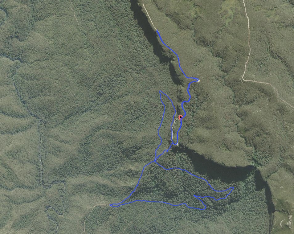
About 100m South of the gate (just past the bare rockfalls) you may be lucky enough to spot a v. indistinct cairn. The old 4wd overgrown track is easily visible from it, follow it down to a cliff face. The tree at the south side has a 6m chain to assist with the descent. From there follow the other half of the 4WD track along the ridge. After 10 minutes the maintained track becomes visible below to your left, however it’s easier stay on the ridge until it descends to join it.
Due to the steepness it may be preferable to return via the long & winding road, as the blue trace above shows.