
Mount Solitary Western Passes
Mount Solitary has two well travelled passes - the Korrowall Knife Edge at the North West and the Eastern Col. There are also two less well known ones - Miners Pass and Point Repulse - both fairly long days. However, there are at least four other passes that get from the talus to the plateau. This trip found a previously undocumented pass and also one known as Bitter Cave Pass.
Mount Solitary has two well travelled passes - the Korrowall Knife Edge at the North West and the Eastern Col. There are also two less well known ones - Miners Pass and Point Repulse - both fairly long days. However, there are at least four other passes that get from the talus to the plateau. This trip found a previously undocumented pass and also one known as Bitter Cave Pass.
The passes both require confidence on narrow exposed ledges.
Route
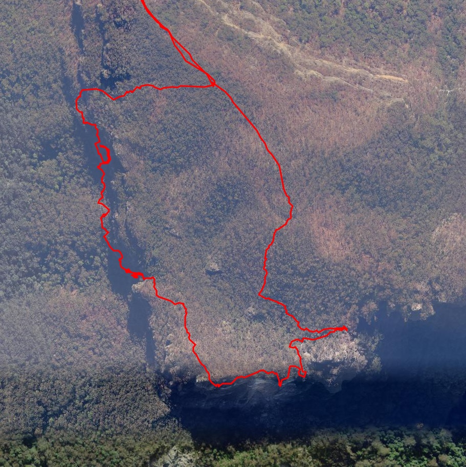
Aerial view of the relevant parts of Mount Solitary. Note that the GPS tends to bounce around when close to cliffs, so some of this route needs to be treated with caution. It’s usually impossible to tell which ledge the route is actually on.
The route from Golden Stairs to Mount Solitary is not shown.
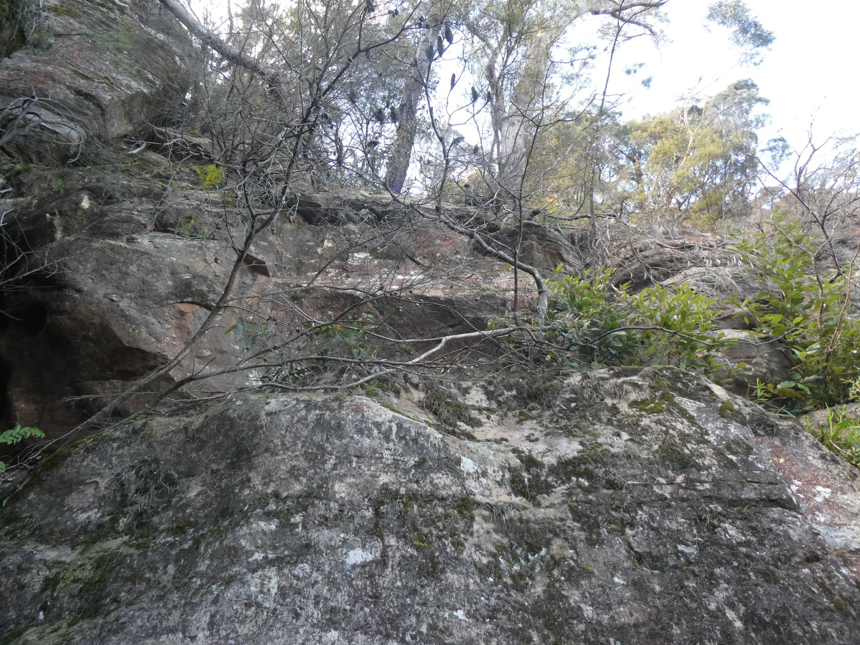
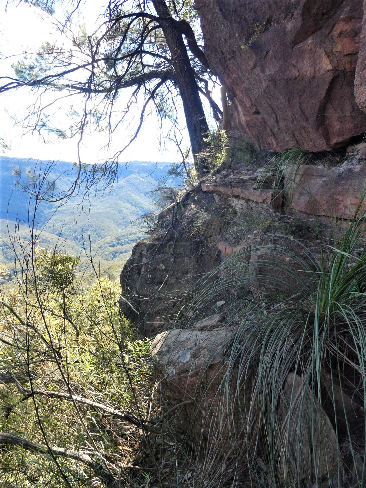
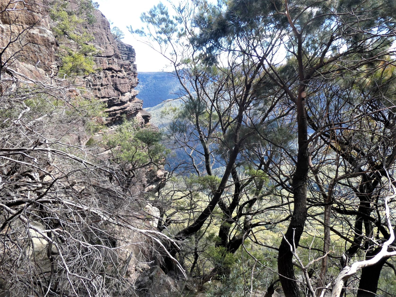
Park at Golden Stairs and head to Mount Solitary via Koorowall Knife Edge. Once on top follow the main trail for a few hundred meters before veering West and descending steeply over loose dirt and Allocasuarina needles. The pass is down a wide particularly steep gully that gets to within 8m of the talus.
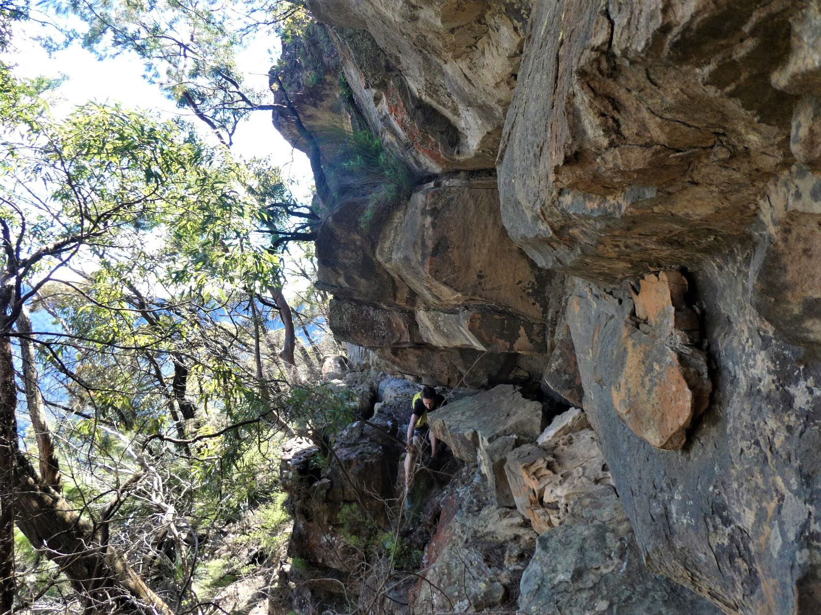
There’s a ledge at about 4m that can be descended to using a fixed rope down a very narrow and shallow slot.
And from the reasonable ledge it’s an easy 5m north towards a deep slot where the talus rises to within a meter of the ledges end.
It all looks a bit improbable from the talus. This pass is believed to be first descended by Rodney Nelson in 2012 and named Winding Pass.
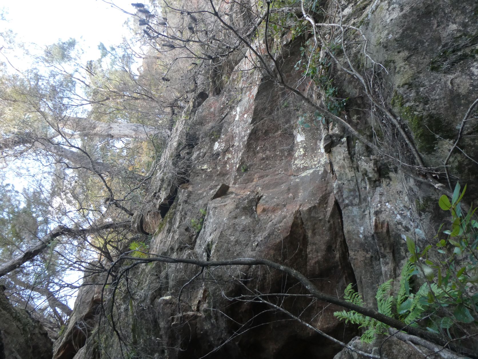
There was brief but fruitless exploration that zigzagged 30 vertical meters up narrow and narrower ledges about 100m further South.
However, following the talus South with only minor difficulties for a further 300m found a promising looking pass back up to the plateau. This was later confirmed to be Bitter Cave Pass, one of the objectives of the trip.
The lowest ledge was close to the talus - only slightly narrow with not too much exposure.
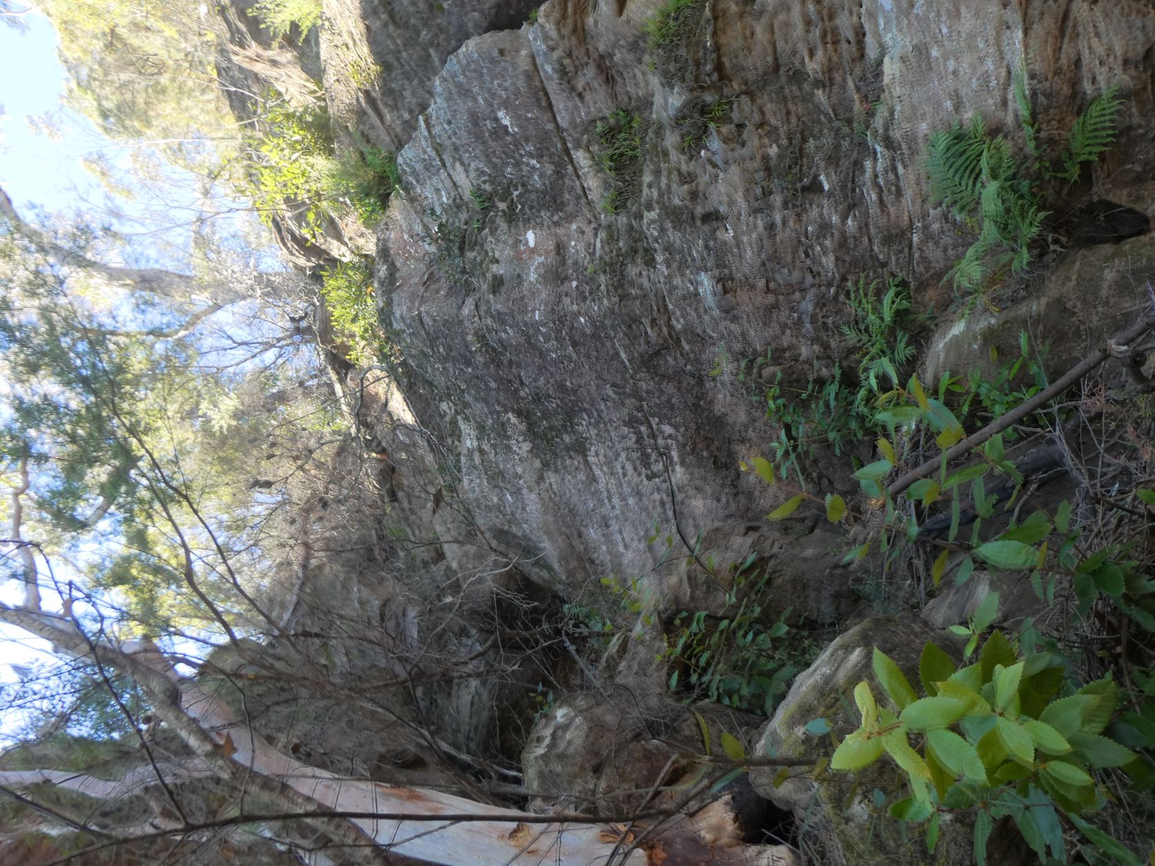
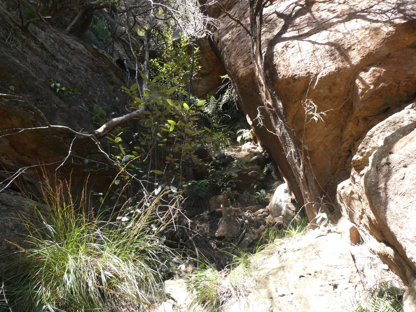
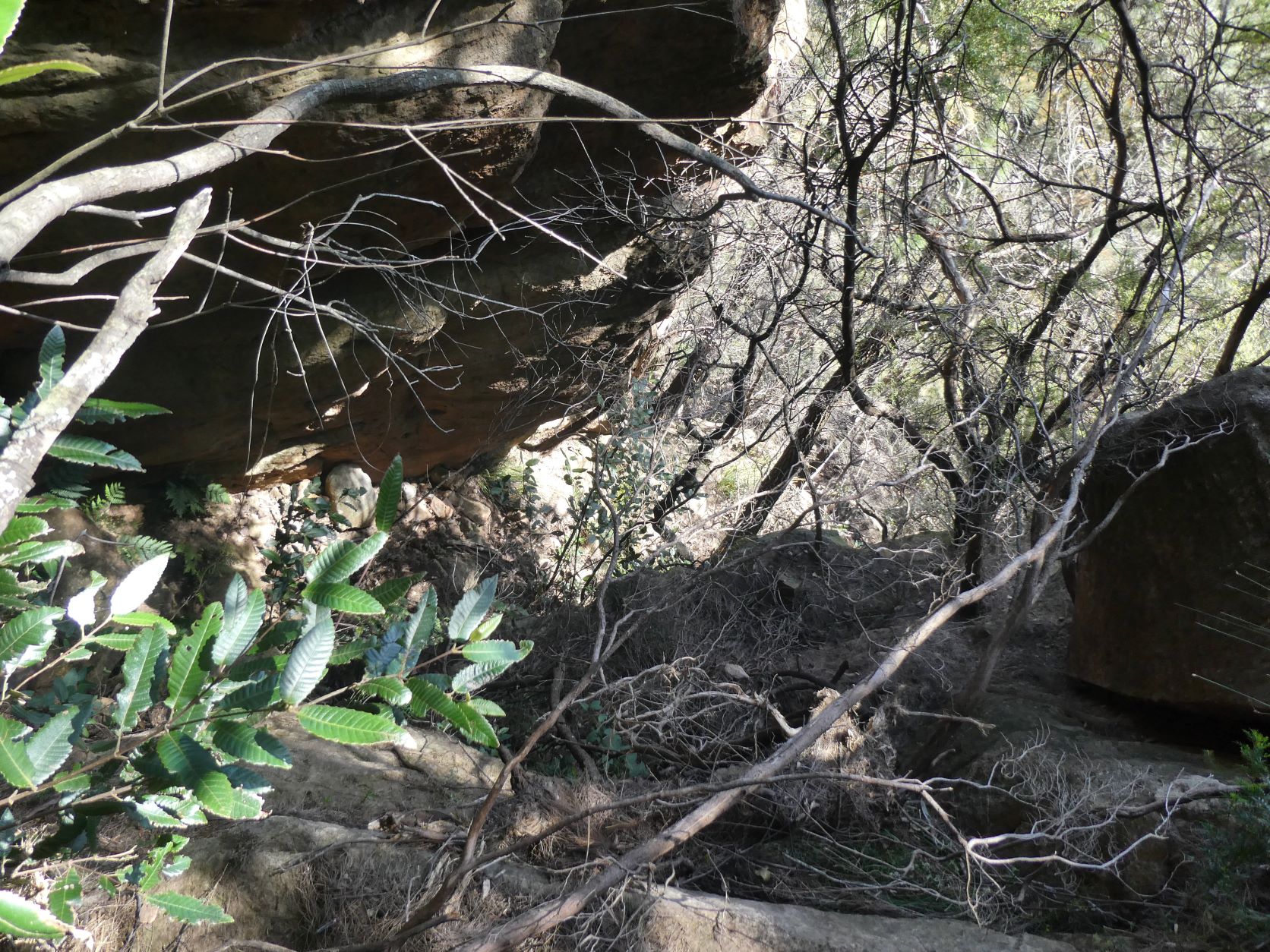
Then head up a particularly steep gully to the overhang (mind your head), shimmy left up steeper loose dirt with a solid tree that’s just out of reach.
And looking back down from the overhung boulder.
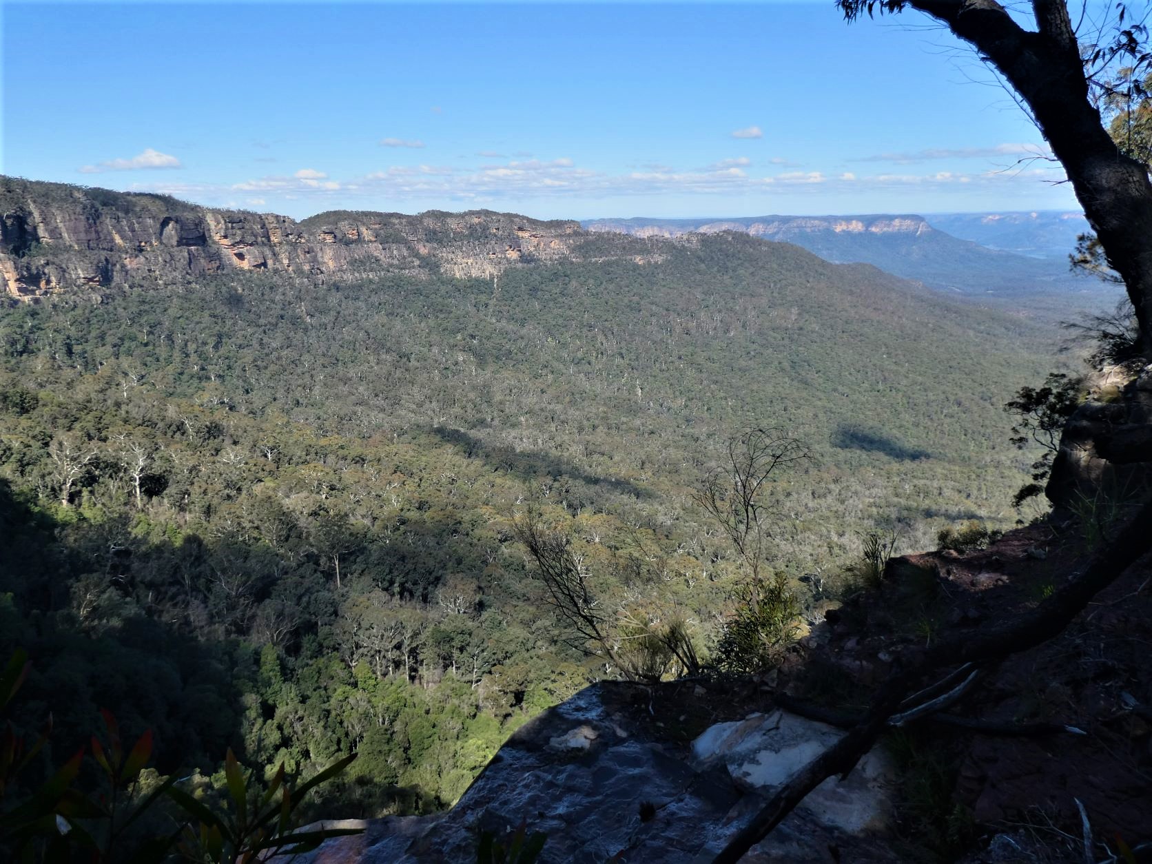
And out towards Narrowneck.
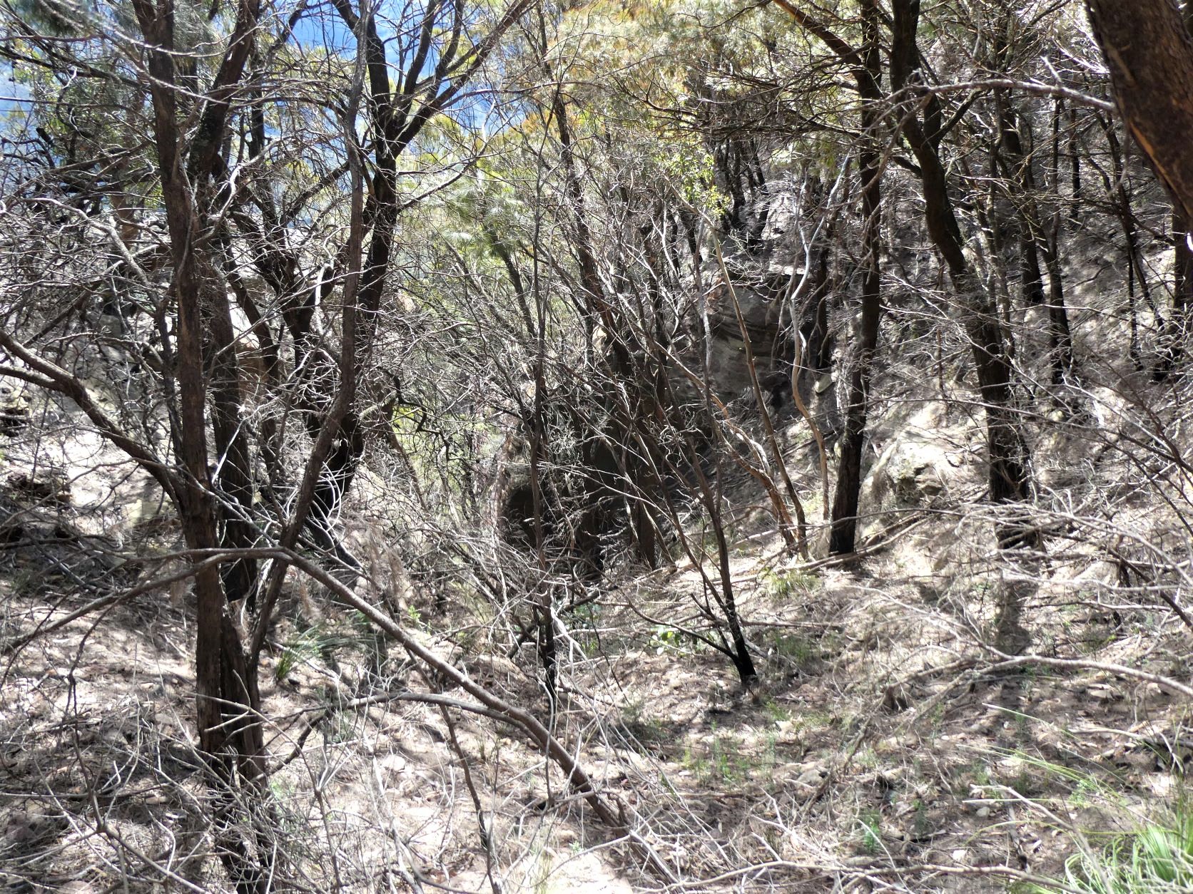
Steep loose dirt through dense scrub is all that remains to achieve the top. This is the gully.
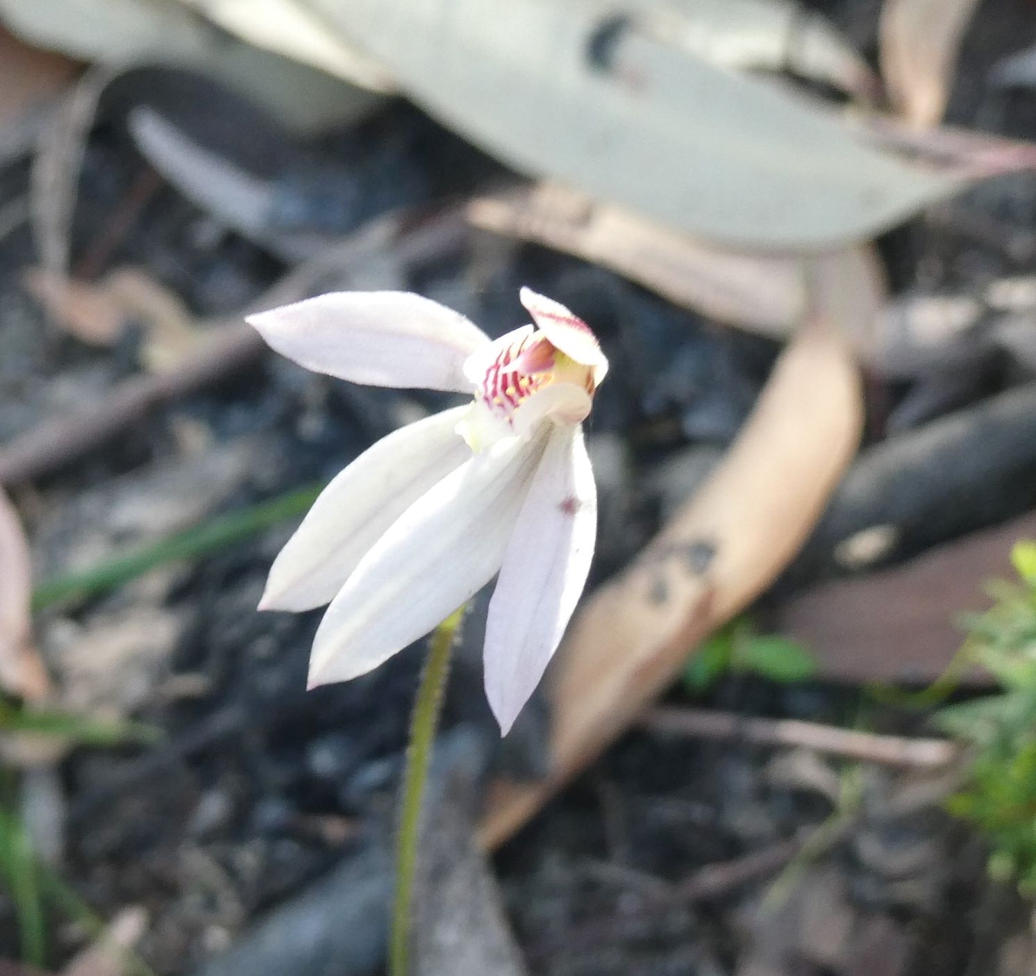
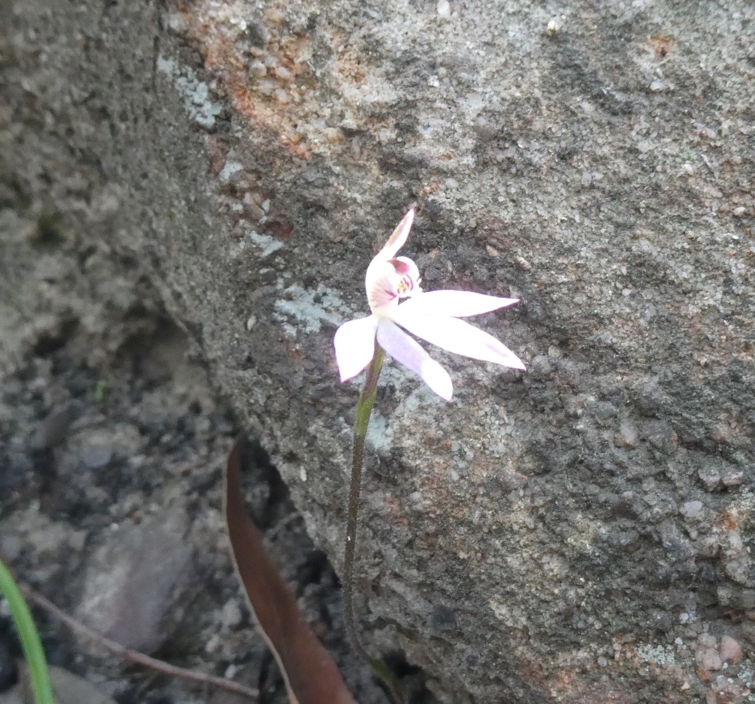
Ladies Finger Orchids (Caladenia catenata) on the more shaded slopes.
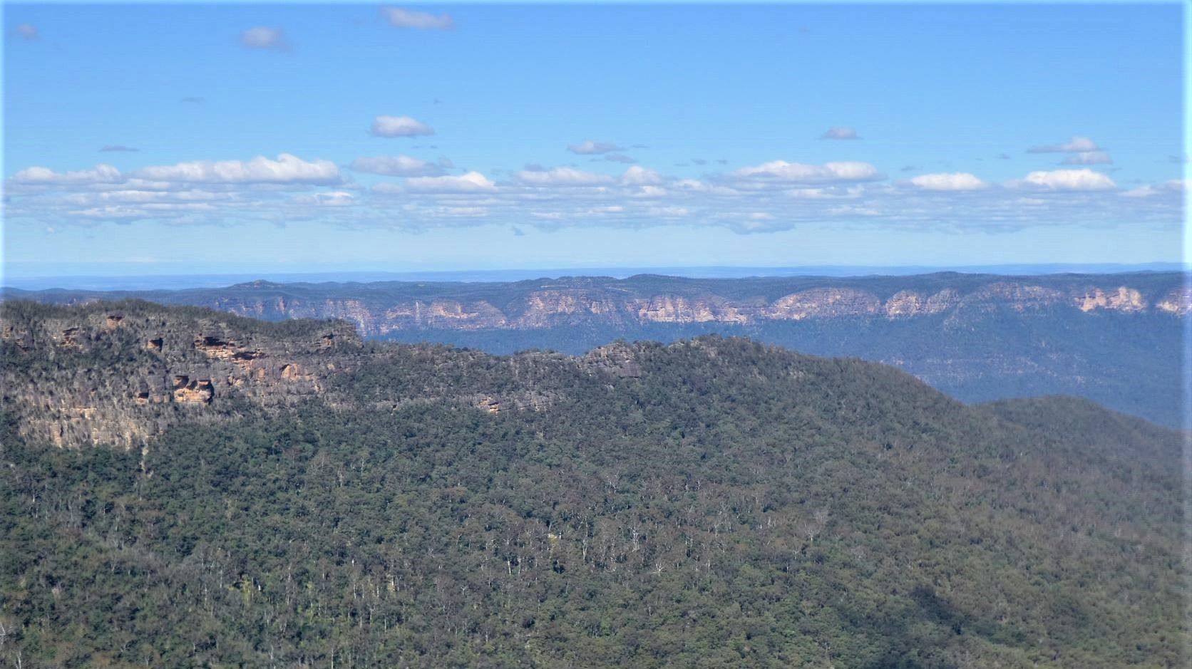
Continuing to Greenfields Lookout gave good views of Point Repulse, much of Kings Tableland and Lake Burragorong.
Onwards to Melvilles Lookout and then Greenfields Cave in the gully, with a small seat and fireplace, and room for 3 or 4 sleeping pads.

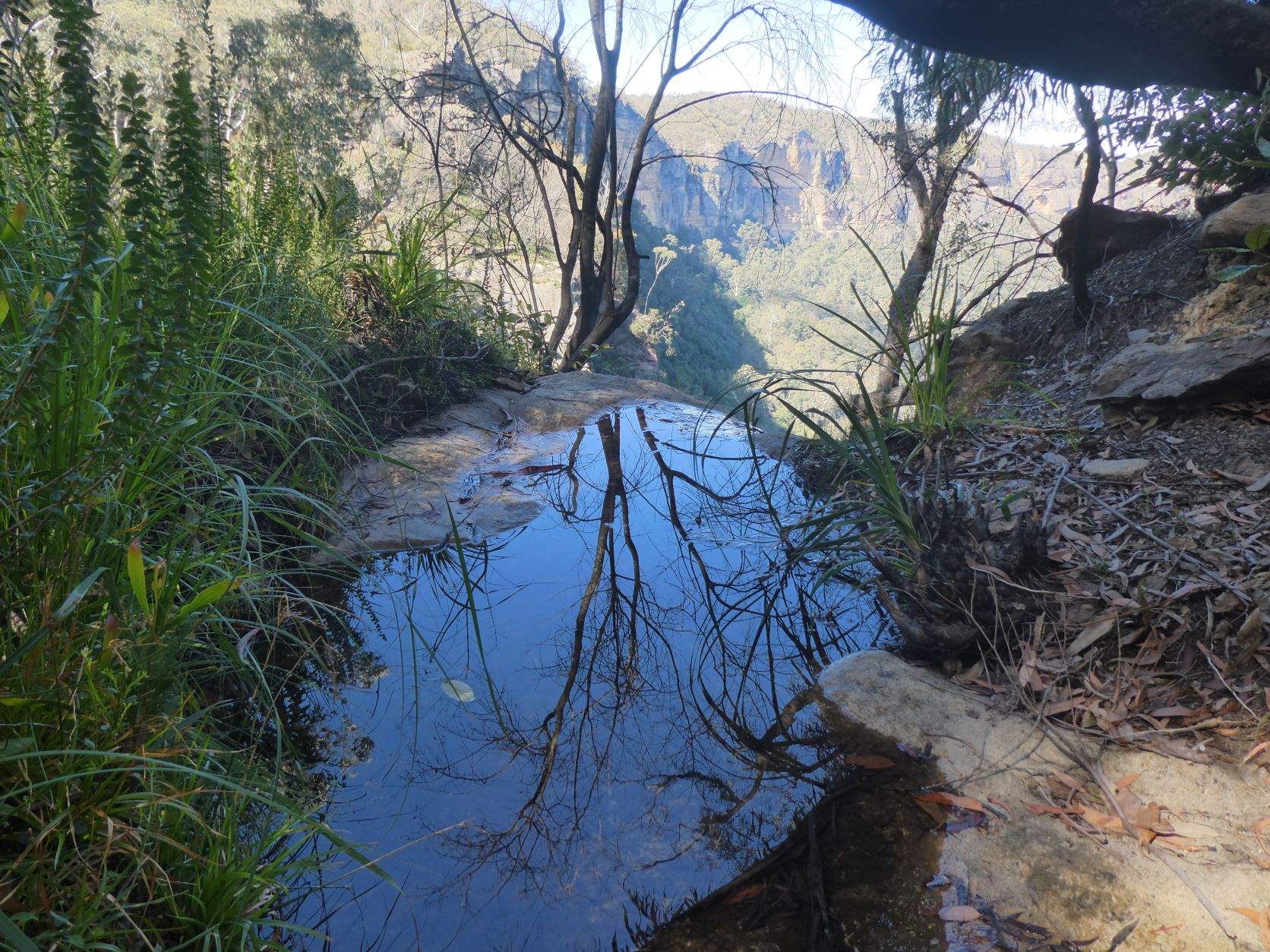
Point Repulse from the edge of Berrima Inga Falls.
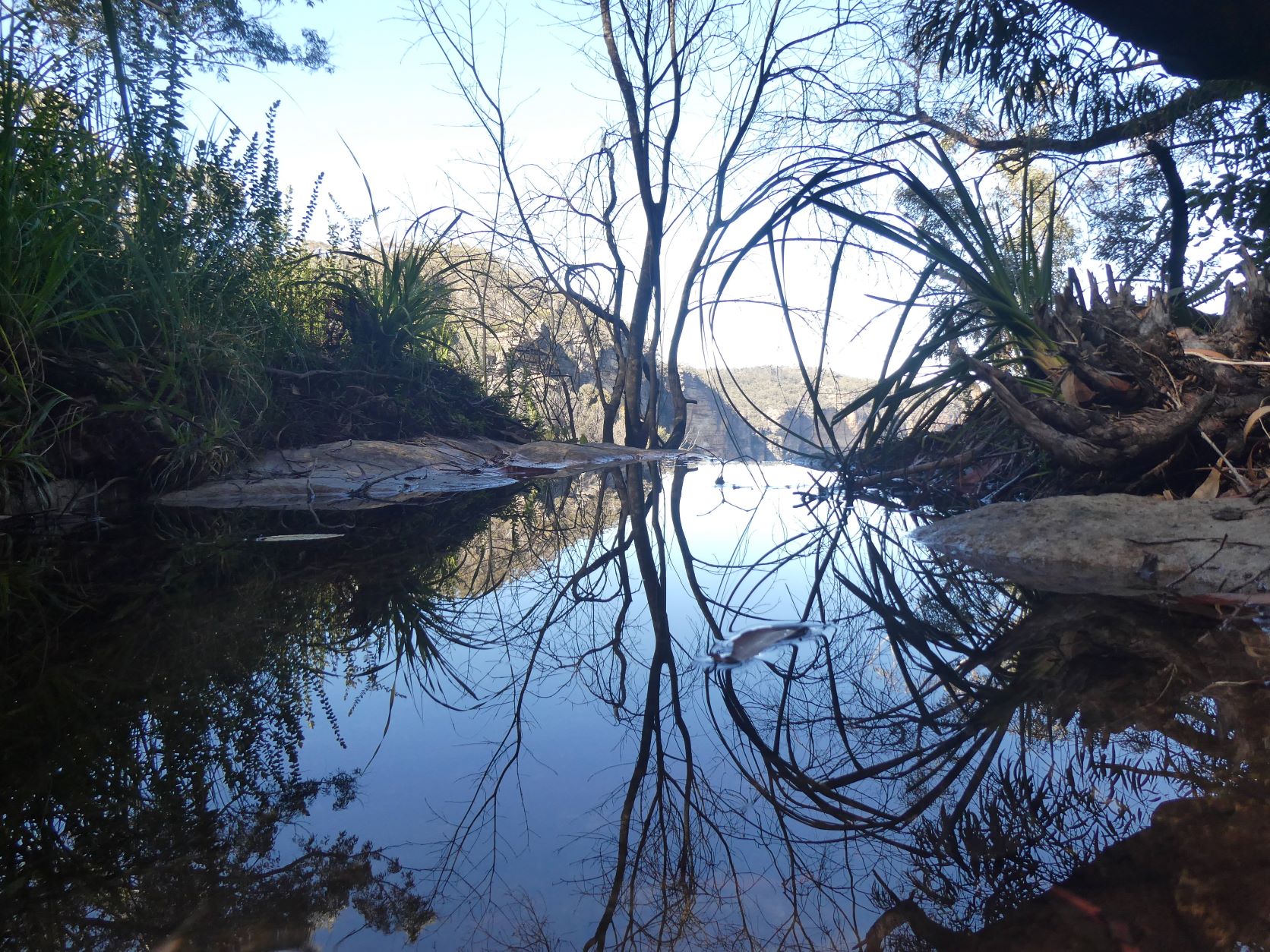
Water can usually be found in pools close to the cliff in Berrima Inga Gully. Today is provided a nice reflection.
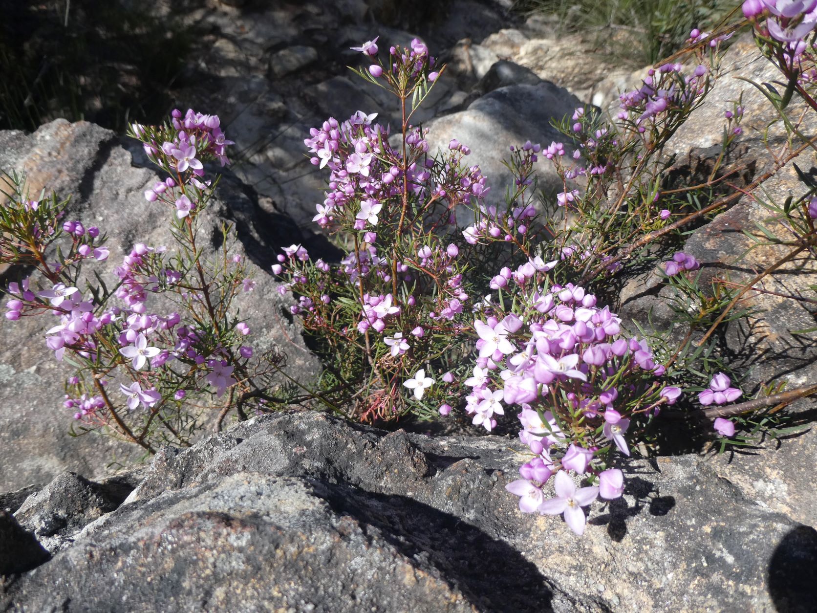
Boronia is among the first to flower.
Stats
A medium day -
17.5km
800m of ascent
Elapsed 6:00
Care
This is a route that has significant route-finding challenges.
All of your party should be comfortable with exposure and be especially sure footed, particularly when traversing the sections of steep, narrow and loose ledges.
Proficiency with scrambling is also required at two critical points. A tape is optional, but preferable for both passes.