Landslide Gully into the Jamison Valley
A hot day after Christmas, so we needed a short walk. Landslide Gully was a goods candidate, but we didn't want to walk down into the valley, across Federal Pass and then try to find our way up the gully with the risk of having to turn back at one of the trickier sections. So we approached from Cliff Drive intending to bounce back up it once we hit Federal Pass.
A hot day after Christmas, so we needed a short walk. Landslide Gully was a goods candidate, but we didn’t want to walk down into the valley, across Federal Pass and then try to find our way up the gully with the risk of having to turn back at one of the trickier sections. So we approached from Cliff Drive intending to bounce back up it once we hit Federal Pass.
Heading steeply down the hill from Hildas Lookout, we hoped to find an easy pass that avoided the 8m climb. No luck… maybe it’s easier to find from the bottom ?
However, we did spot the traditional climbdown from afar - a blue rope is not quite visible in the ferny gully .
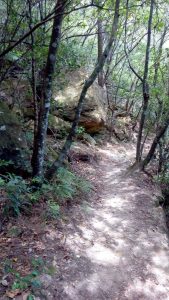
A short bush bash to find the ‘real’ track 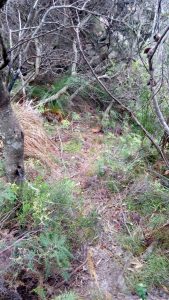 that led to the rope.
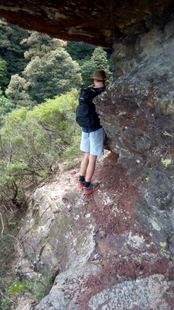
It is vertical, exposed and about an 8m drop onto dirt, but the top half has good hand and footholds, the bottom half less so. Wet weather would make the bottom part slippery to descend, but not too hard to ascend.
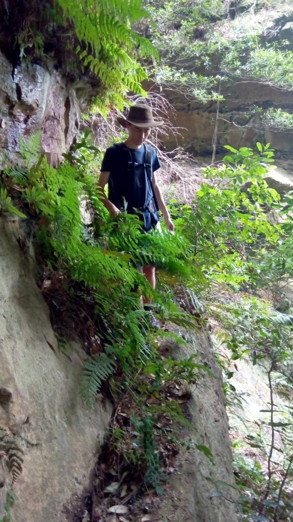
Following the obvious path westwards, soon becomes non-obvious among the leaf litter, but down and westwards is the obvious option. It soon leads to a slightly exposed chocolate ledge above a 5m drop… crawling is an option, but not necessary.
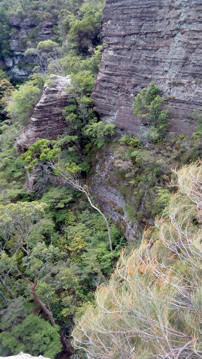
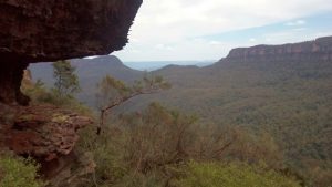
Pause for the view to Ruined Castle and the usual suspects.
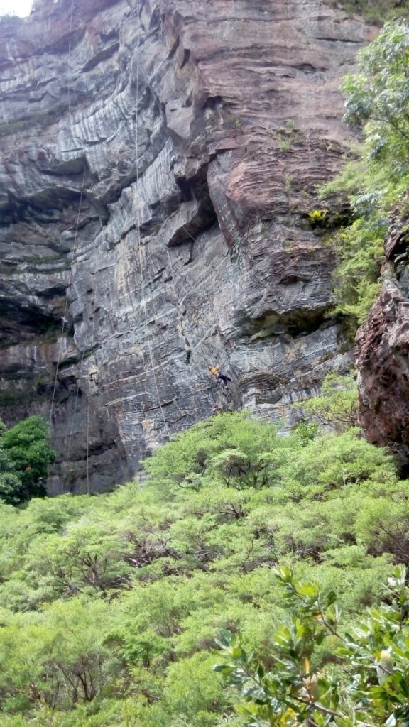
And around the corner to a huge semi-circular overhung shady cliff. We were greeted by a couple of climbers setting routes with a noisy drill.!
x](https://cdn.whatworkedforme.com/images/2016/12/resize_014-576x1024.jpg)
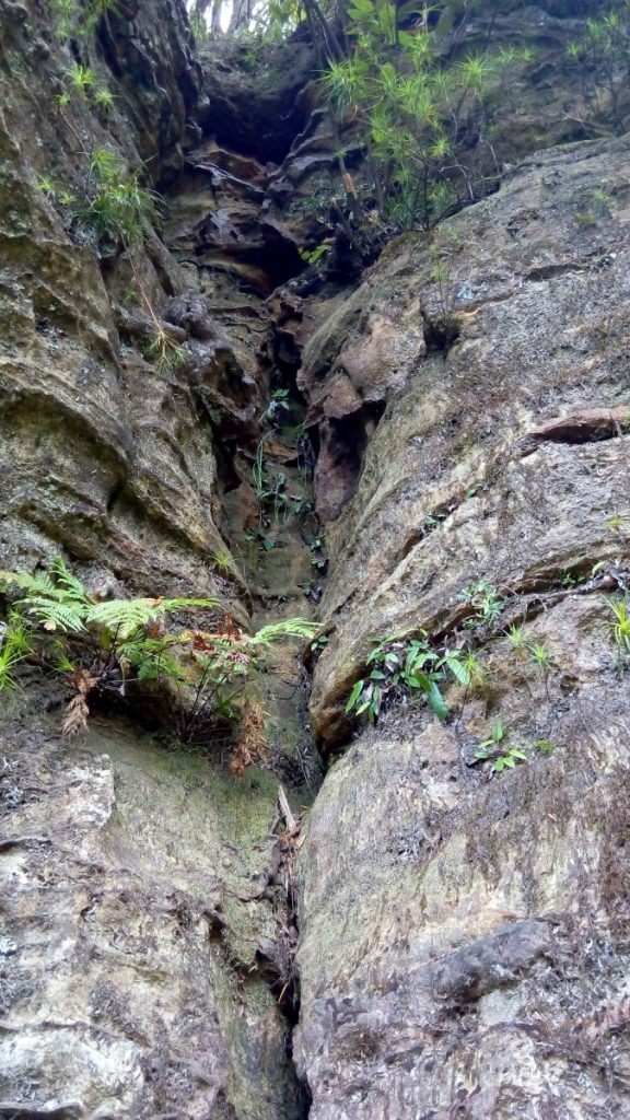
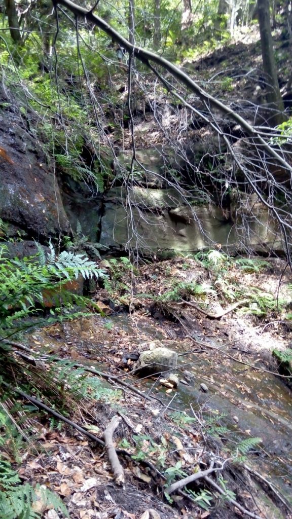
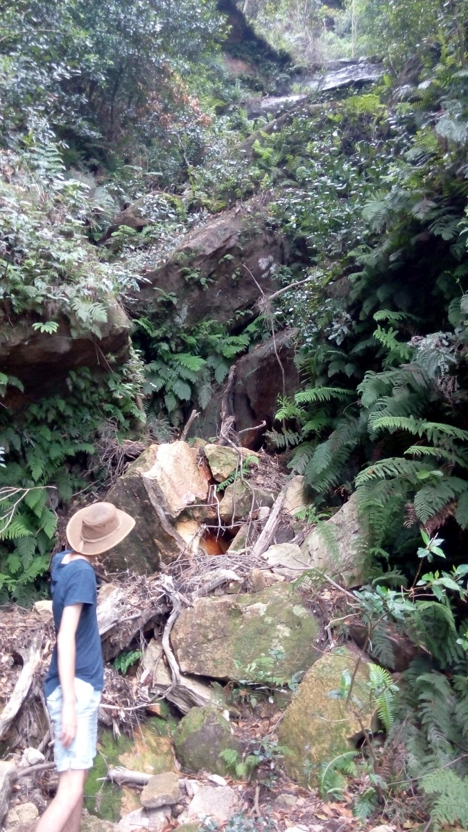
Here is where the creek starts - a series of 3 drops to be negotiated. The first is a 3m climbdown on the Eastern side, with some slightly moss-free footholds. It looks as though there is nowhere to go after the climbdown, just a big overhang in the creek… but do it anyway.
However, immediately cross the slippery rock … to a narrow ferny ledge that is visible from above, but appears to go nowhere.
At the end of the ledge is a small easy climbdown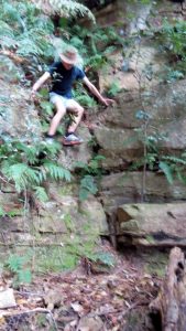
And then steeply downwards again into the creek… where you’ll find the ‘boulder’ It can be descended either on the left of the right, but the 2m slippery vertical descent on the true right bank isn’t a viable ascent route. If ascending, the slightly twisted log in the centre below is used as a step to get onto the slippery slopey rock, then the next equally slippery but less slopey rock beyond. If the next party to ascend took a 2-3m branch with a couple of good forks in it, life would be easier & safer.
Following the easy slope straight down over the leaf litter found us at the tourist track below the landslide in less than 5 minutes. We followed it back to the Scenic Railway glancing back to see the Pass from below.