
Point Repulse from Kings Tableland
The long cliff-lined ridge from the south east end of Mt Solitary is Point Repulse - a long day with much ascent and exactly the same amount of descent.
The long cliff-lined ridge from the south east end of Mt Solitary is Point Repulse - a long day with much ascent and exactly the same amount of descent.
Beginning at the locked gates on Kings Tableland, the firetrail leads steeply through a few hairpins to descend through the cliffline. A short detour on the right to the memorial of the track builder and his ‘dozer offers a view of the days travails.
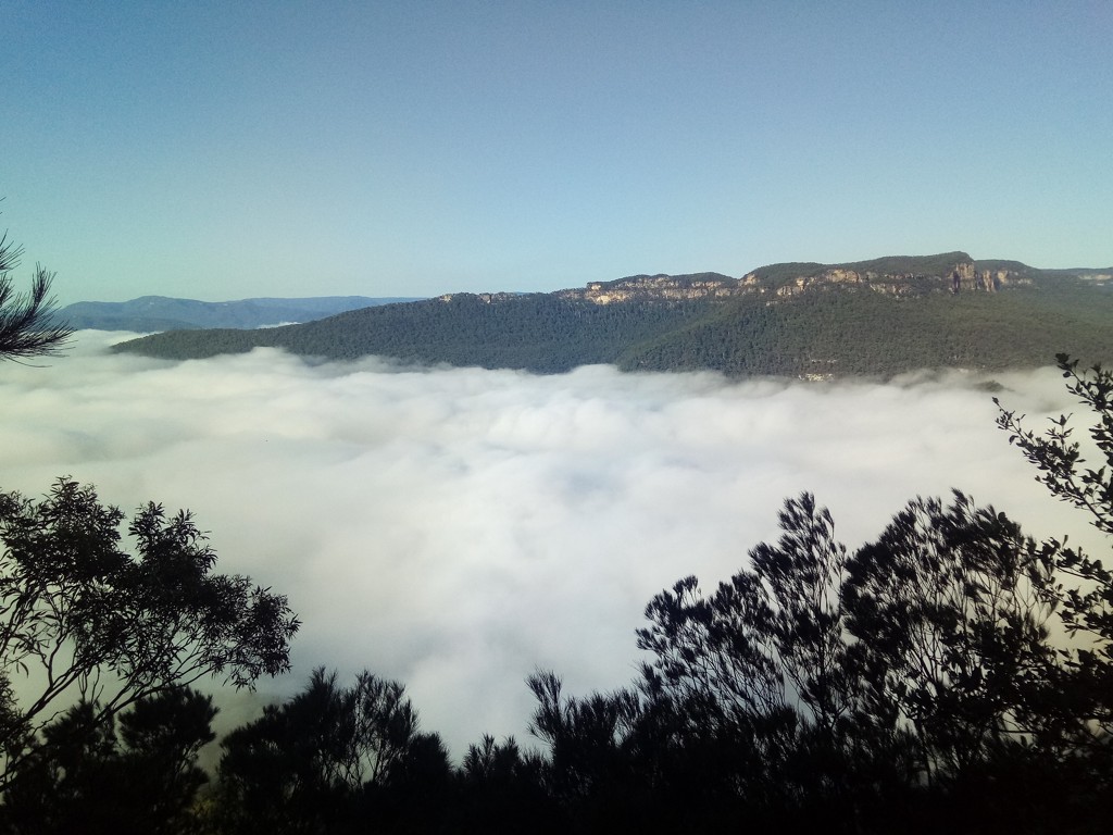
And at one of the hairpins an equally spectacular views awaits.
The tiny vertical step down on the horizon in the centre is Pt Repulse.
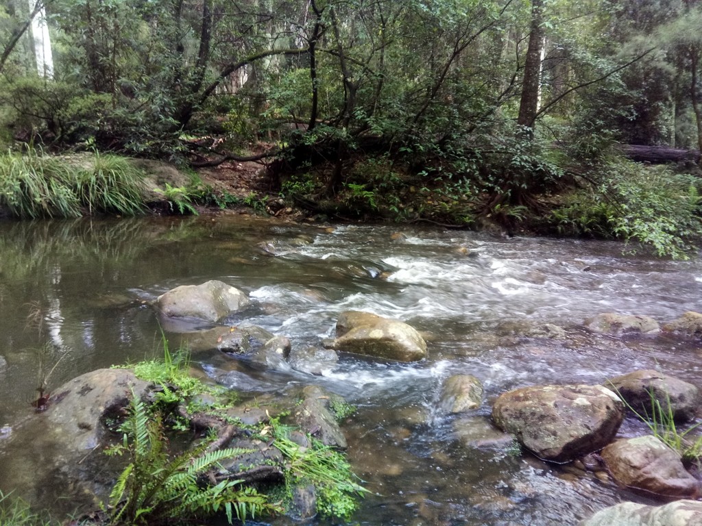
Getting down to Kedumba Creek took a further 35 minutes. Boots and socks off and a shallow crossing.
Followed by a long slog up 700m to get the the log book on the Eastern Col of Mt Solitary that took close to an hour.
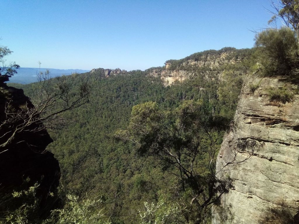
Just past the log book, this is the view of the same step down. The trees to the right of the step show the route to get to the tricky ledge.
And after a short break, followed by a long and navigationally interesting trek through the dense scrub atop Solitary, I arrived at Pt Repulse two hours later.
After a quick visit to the Point, I backtracked about 100m and had a good sit down and a nice cup of tea above the slope that leads to the ledge on the Eastern side.

The slope is reasonably obvious, bearing around to the South…
… and within five minutes narrowing to almost nothingness.
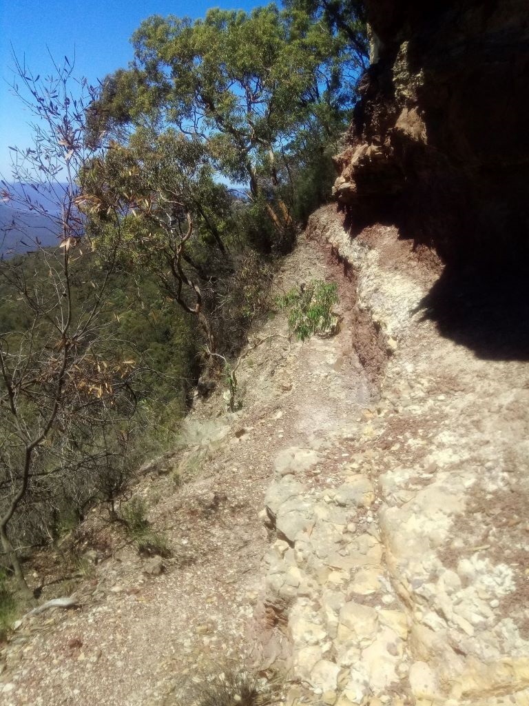
The photo below doesn’t really do justice to the 100m drop off to the East.
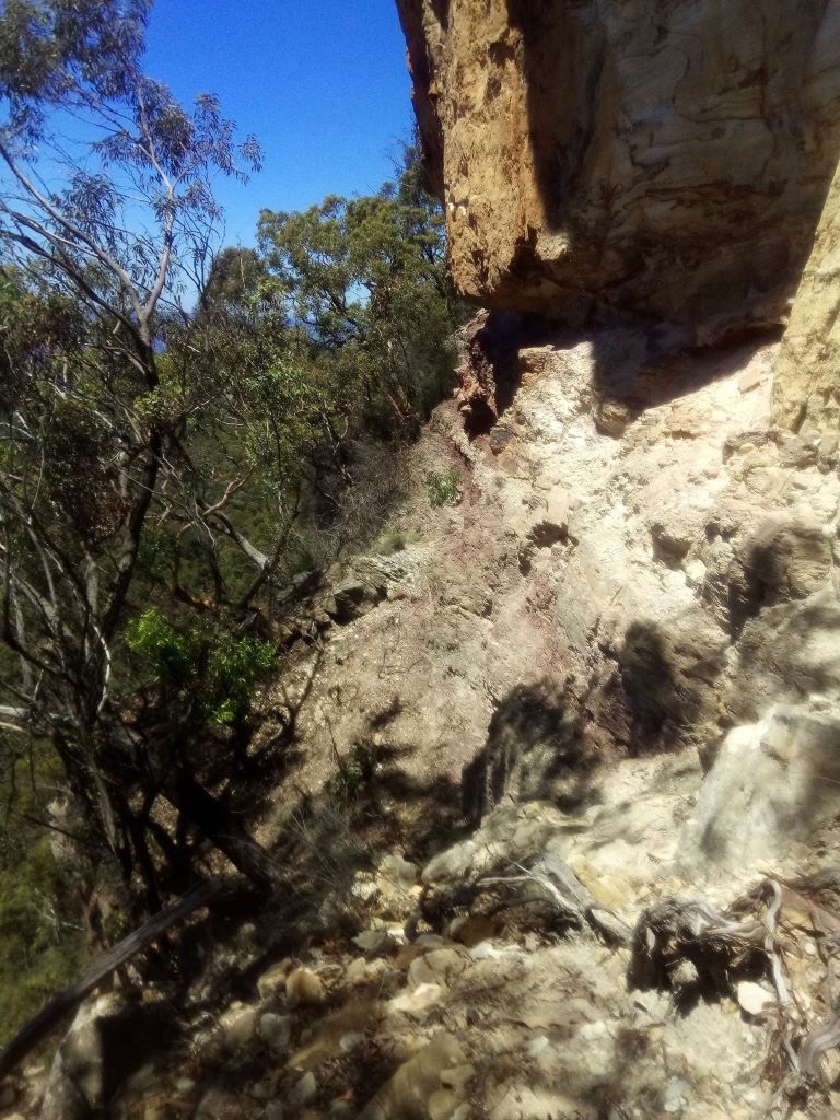
The ledge has a rough loose track across it with about 10m of exposure - a misstep or loose rock would likely result in a sub-optimal outcome.
And within 10m of the end of exposed section, just around the corner is a welcome cairns, and a pleasant flat ridge still heading South, although with a mediocre view back to the 30m step of Pt Repulse.
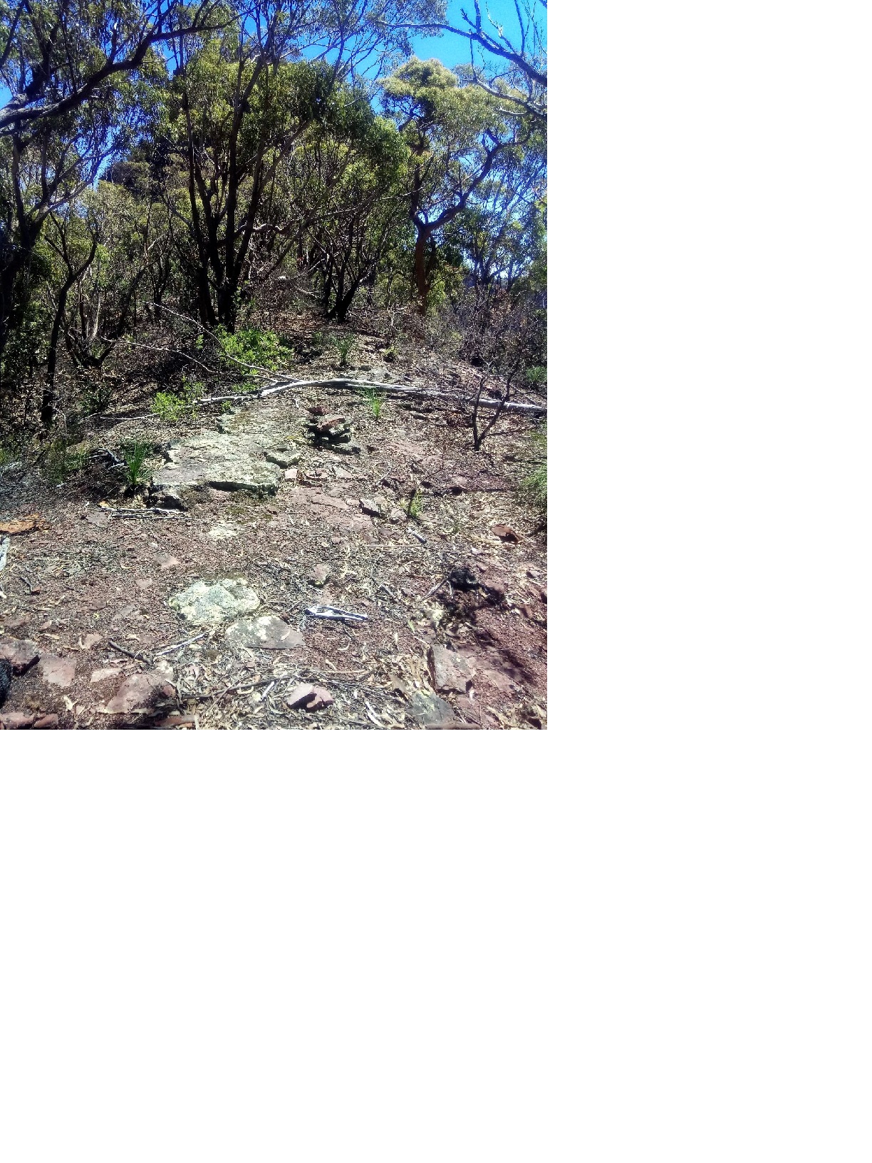
Following this flat ridge to the South for a few hundred meters soon reveals the cliff to the East morphing into steep and rocky talus. Grabbing a couple of stout branches made the long descent to the fire trail slightly less hard on the ankles and knees. The vegetation wasn’t especially dense, but the firetrail was very welcome.
A short bathe in Kedumba creek, before the long grind back up the trail to the car park just before 4PM. There was a puddle or two on the track to replenish water bottles. The GPS Trace shows the full circuit - a long day with 1700m of ascent.
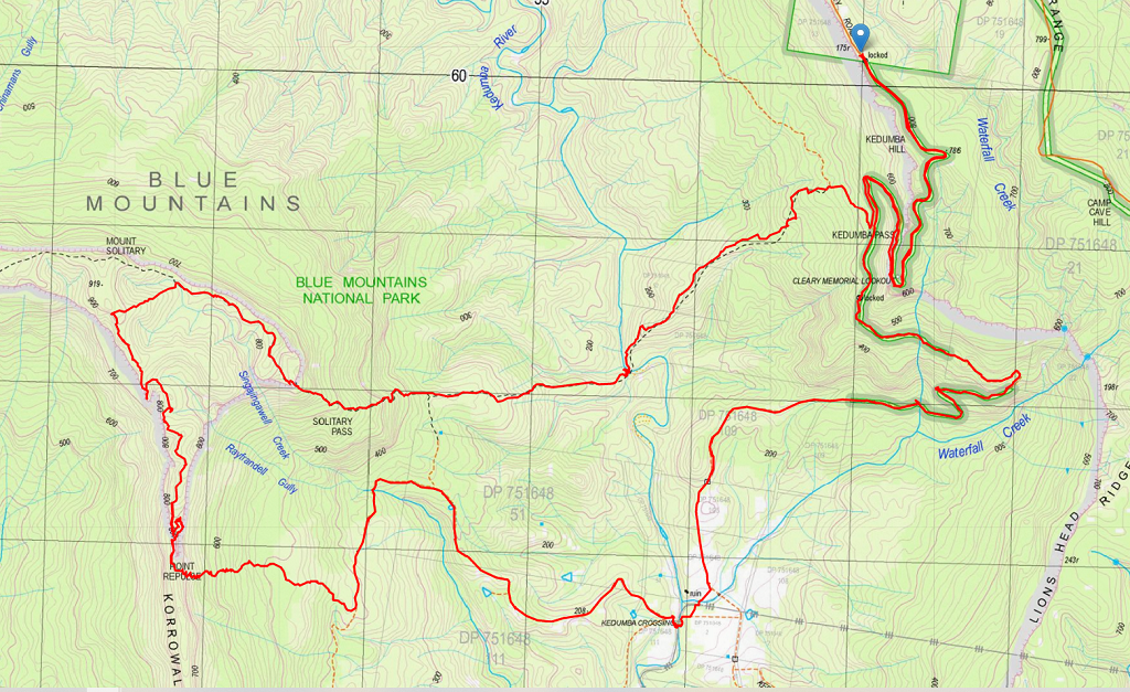
After looking at the GPS track, next time I’d consider taking the link trail due North to return down Mt Solitary rather than descending to Kedumba Crossing. It appears shorter and would certainly be shadier and overall more pleasant.
The other return option includes the Goat Track, but ascending it is less enticing than the descent.
Note that I travel light, usually alone, run where possible and pause infrequently & briefly, so the 8:30 hours it took me is probably a fair bit faster than most parties could expect to complete it.